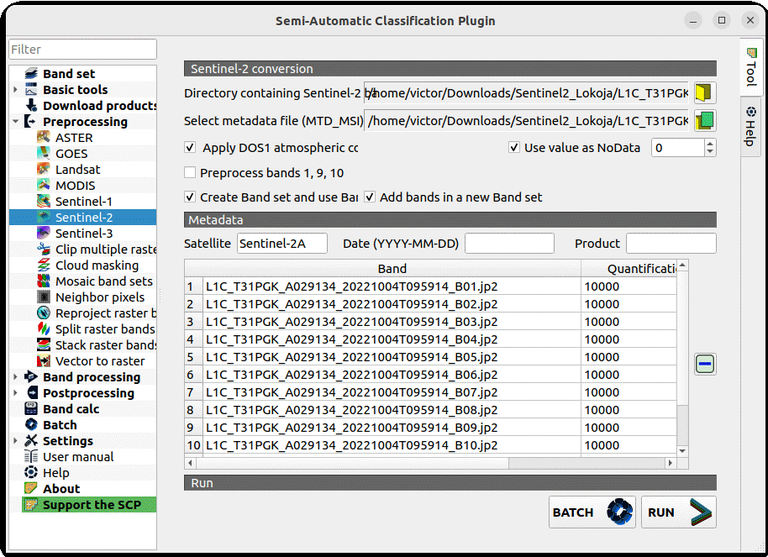
Figure 11 Top of Atmospheric correction for Sentinel-2 L1C product.gif
 1
1
Links
- https://www.zfl.uni-bonn.de/font-families/using-optical-data-to-map-floods/figure-11-top-of-atmospheric-correction-for-sentinel-2-l1c-product.gif/image_view_fullscreen
- https://www.zfl.uni-bonn.de/font-families/using-optical-data-to-map-floods/figure-11-top-of-atmospheric-correction-for-sentinel-2-l1c-product.gif/@@download/image/Figure 11 Top of Atmospheric correction for Sentinel-2 L1C product.gif