Project summary
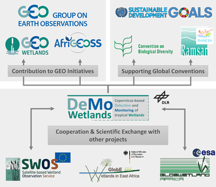
International conventions that dedicate themselves to the protection of wetlands, such as the Ramsar Convention on Wetlands or the Convention on Biological Diversity, urgently need exact and reliable data that are recorded and validated using a standardized methodology, to be able to assess the condition and development of these fragile ecosystems globally. An improvement of national monitoring systems hence is a key requirement for an improvement of global knowledge on wetlands. In DeMo-Wetlands, the East African state Rwanda is applied as example for the development of an automated satellite-based wetlands detection and monitoring system. A multi-satellite and multi-temporal approach for a static wetland detection and dynamic mapping of wetland characteristics and wetland changes by the usage of state-of-the-art satellite sensors of the ESA Sentinel-Programme and other Copernicus datasets is envisaged. The DeMo-Wetlands project can provide a significant contribution to international conventions supporting a sustainable use of wetlands.
Project duration
01.04.2016 - 31.03.2019
Funding agency
DeMo-Wetlands (FKZ 50EE1537) is funded by the German Federal Ministry for Economic Affairs and Energy.

